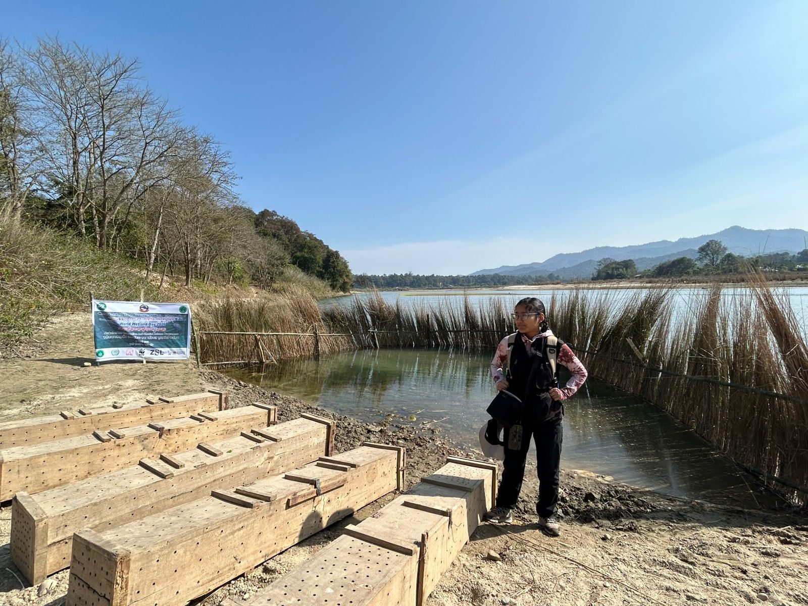
Water & Landscapes
Wetland survey · GeoSutra
Where does the water come from, and where is land use shifting?
Watershed mapping, land-use change, water-resource analysis and landscape assessment.
Watershed mapping, land-use change, water-resource analysis and landscape assessment.
Tell us the place, the question and the decision. We propose the mix of fieldwork, GIS, drones, satellites and analysis that answers it, confirmed in writing.
We will propose the smallest useful scope. Communities, government, NGOs, researchers, donors and business are all welcome.