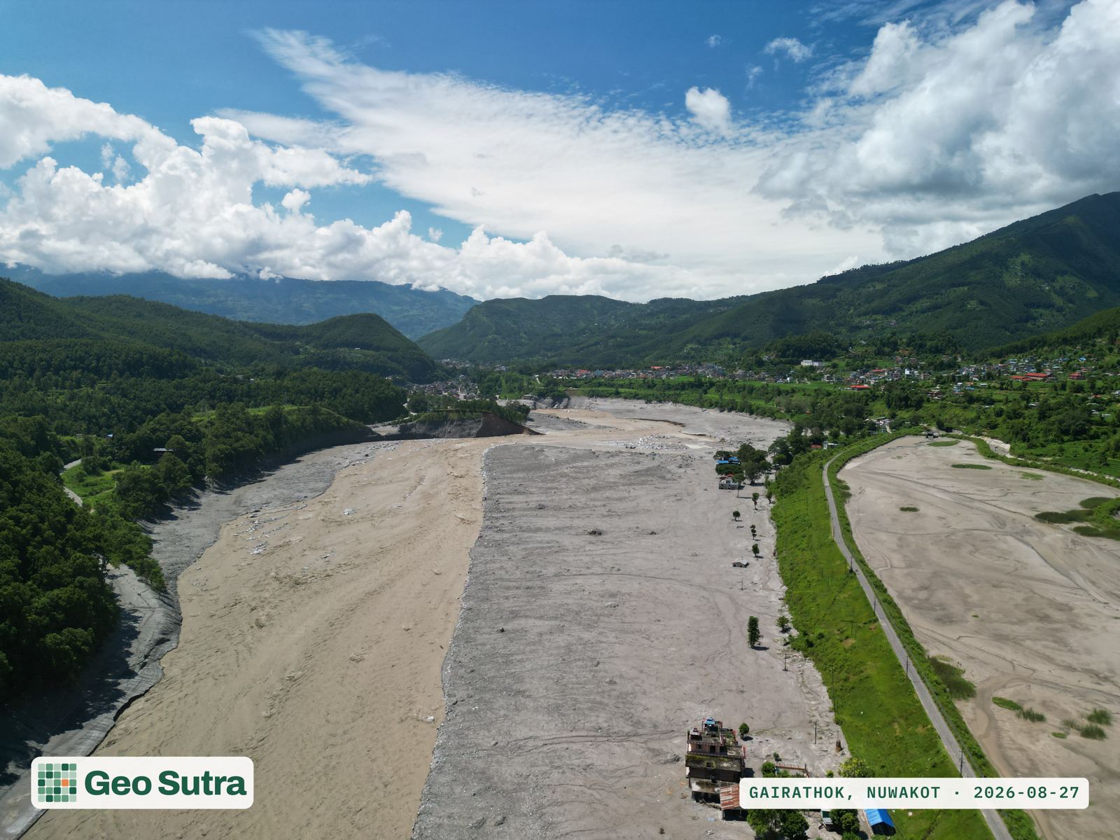
We turn drones, satellites and field-grade AI into forest data communities, government and donors can trust — measured from the ground up, not estimated.
Nepal handed nearly a third of its forests to community user groups, one of the world's great conservation stories. Yet the data behind those forests still lives in paper plans and one-off surveys — too coarse to verify carbon, target restoration, or unlock climate finance.
Most forest figures in Nepal are modelled or sampled coarsely — hard to audit, harder to trade against.
UAV + AI individual-tree inventory, validated against field plots, delivered as maps and APIs.
Calculators, converters and reference data — built around the methods Nepali foresters already use. The free top of our funnel.
Forest planning, surveys, modelling and satellite mapping — delivered as ready-to-use reports and maps. Today's revenue, funding tomorrow's platform.
Inventory analysis, regeneration, maps and the full operational plan.
Resource surveys and sustainable-harvest reporting for non-timber products.
Habitat suitability maps from predictors and occurrence data.
LULC, change detection, LiDAR/multispectral analysis, NDVI & biomass.
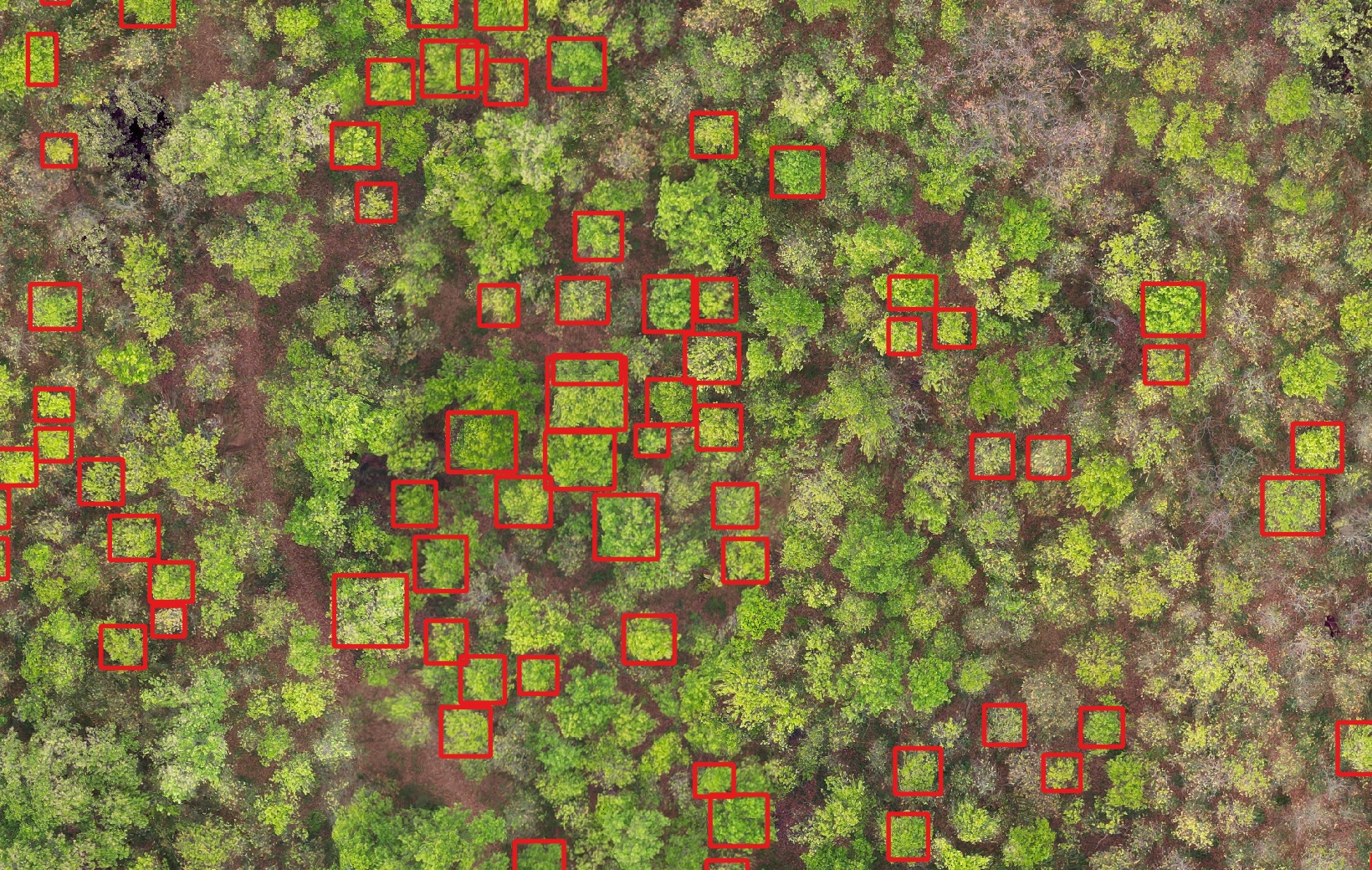
A UAV orthomosaic of a community forest in Kawasoti, processed with a DeepForest model into an individual-tree inventory — every crown delineated, measured and mapped.
Observatory, Climate and Carbon run on one platform — satellite feeds, UAV pipelines, AI models, auth and APIs — so every new module ships faster and makes the others better.
National forest & park layers, live biodiversity and fire data — all clipped to Nepal.
ClimateLive ERA5 climate normals and CMIP6 warming projections per site.
Carbon · private pilotA climate operating system for Nepal's institutions — emissions, compliance and offsets in one workspace.
Layer 1 · the data platform — live · Layer 2 · industry applications — shipping · Layer 3 · MRV for climate finance — the road ahead
Banks and large organisations increasingly have to measure, report and reduce their footprint. GeoSutra Carbon turns that duty into one workspace — and connects it to the measured forests that can offset it.
In private pilot · the demo workspace uses illustrative data, clearly labelled
Leadership, sustainability teams and branch managers each see their own view of the same validated numbers — with approvals routed through a queue.
Every branch's footprint and the reduction projects it funds, on a real map of Nepal — with a live scenario modeller for reduction planning.
Annual inventory, NRB ESRM-aligned ESG section, board briefing and a GHG Protocol technical annex — exported as PDF and CSV.
We measure the carbon stored in Nepal's forests — backed by field inventory, not estimates — and give institutions the ledger to account for and offset their own footprint. Supply and demand, on one platform: that's the market we're building. The money moves around us; the evidence moves through us.