Training & Learning

How do we learn to read our own environment?

GIS, QGIS, remote sensing, UAV mapping, environmental data literacy, biodiversity and climate data, map reading and community data collection.

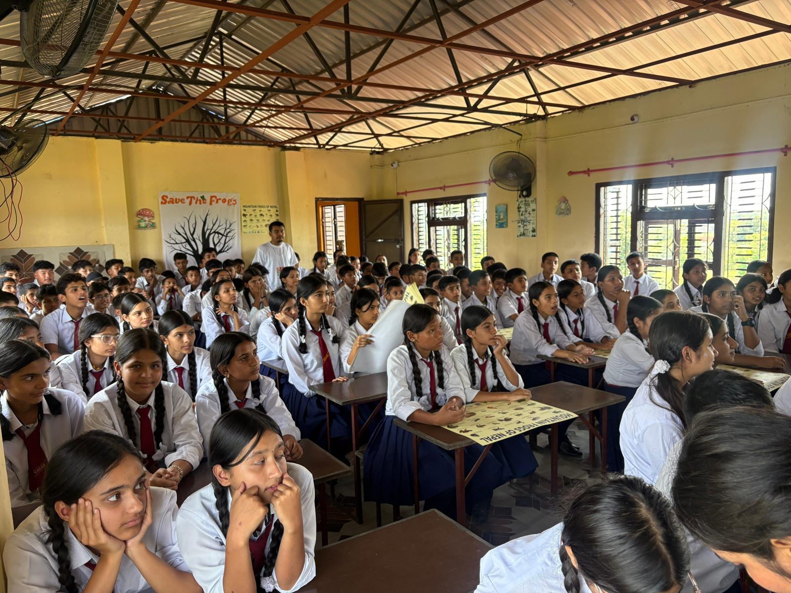
Save The Frogs Day 2026 · Vidya Bikash English Secondary School
What we do

The smallest useful scope.

Tell us the place, the question and the decision. We propose the mix of fieldwork, GIS, drones, satellites and analysis that answers it, confirmed in writing.

Schools: map your school, map your forestStudents & early professionals: GIS, QGIS, remote sensing, UAV mappingOrganisations & practitioners: environmental data systems, monitoring, dashboards
Example

Workshops are run on request and shaped with the group, from an afternoon to a term-long study.

Tell us about the place and the decision.

We will propose the smallest useful scope. Communities, government, NGOs, researchers, donors and business are all welcome.